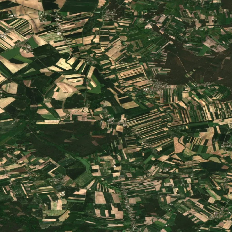
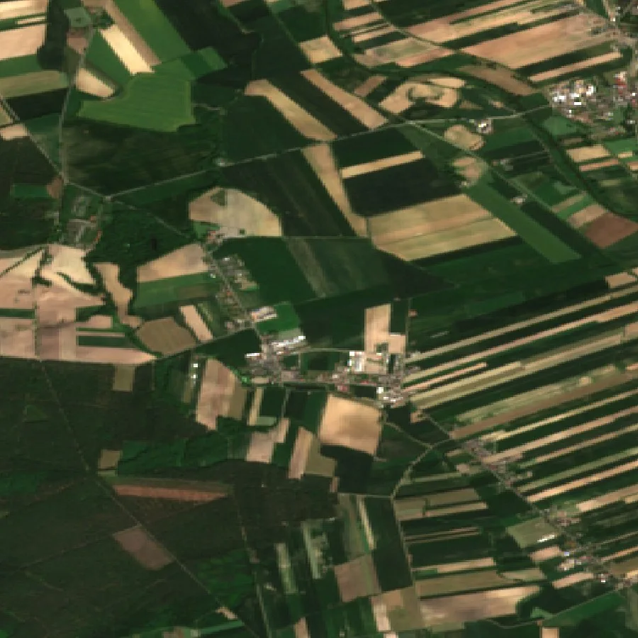
Anyone can read a satellite photo. Our edge is everything else.
Optical imagery is table stakes — every vendor has it. Orbispect fuses the instruments most never touch: orbital water-mass sensing, ground-motion radar, thermal from the ISS, many-band spectral chemistry — and the mathematics that turns them into one answer.
WATER MASSDEEP COLUMN
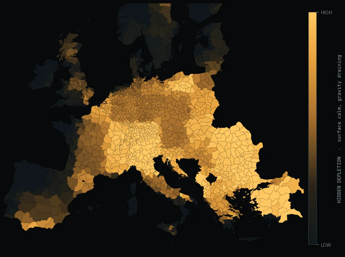
Water-mass from orbit
We sense the change in water mass itself from orbit — the only way to see deep groundwater from space.
→ DEPLETION RUNWAY · WATER CREDIT SCORE
INTERFEROMETRIC SARmm / yr
Radar interferometry
Millimetre-per-year ground motion from phase shifts between radar passes — subsidence and soil stability, through cloud.
→ GROUND MOTION · SAR VERIFICATION
THERMAL IRSUB-FIELD
Canopy thermal
High-resolution canopy temperature radiometry — crop water stress detected days before it is visible to any camera.
→ WATER STRESS · IRRIGATION TIMING
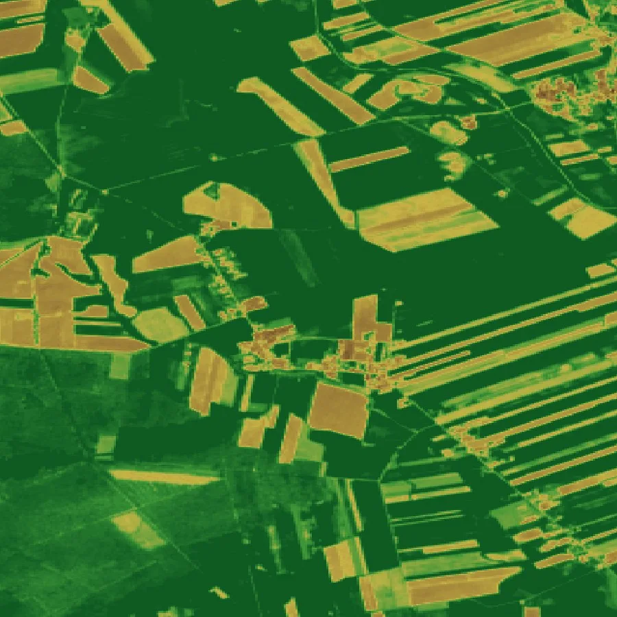
SPECTRAL CHEMISTRY200+ BANDS
Many-band spectral chemistry
200+ spectral bands read soil carbon, clay and plant nitrogen as chemical signatures — lab analysis from orbit.
→ SOIL CARBON MRV · NUTRIENTS
ATMOSPHERIC SPECTROCOLUMN
Atmospheric spectrometry
Methane column retrievals screen super-emitters — the climate liability most portfolios cannot see.
→ METHANE SCREEN · ESG
L-BAND MICROWAVEROOT ZONE
Microwave radiometry
Microwaves that penetrate the canopy to read root-zone soil moisture — the variable rain gauges never see.
→ SOIL MOISTURE · DROUGHT INDEX
THERMAL ARCHIVE5 DECADES
Thermal time series
Five decades of surface temperature archive — a multi-decade climate baseline.
→ CWSI · LONG-TERM BASELINES
THE MATH LAYERON THE GROUND
Assimilation & uncertainty
Ensemble Kalman assimilation, Bayesian structural time series, Gaussian-process error fields, copula risk models — the layer most vendors skip.
→ CALIBRATED UNCERTAINTY ON EVERYTHING