A · ACCURACY & VALIDATION
Can I price and pay out against this?
Yes — because each parcel value arrives as a conformal prediction interval with guaranteed coverage, so the band an actuary loads into a model has a property that holds out of sample. Soil moisture and evapotranspiration are benchmarked against in-situ soil-moisture probes and flux (eddy-covariance) reference stations, with the gridded climate inputs that feed the indices bias-checked against the national meteorological network before any downstream model sees them.
- Independent referees. Soil and flux networks for the product; met stations for the input climate fields.
- Honest weak spots. Parcels below sensor resolution are flagged with a wider interval and priced accordingly, not hidden.
- Validation pack. Residual tables and coverage statistics ship with the product and stay current.
B · RESOLUTION & UPDATE FREQUENCY
How fine, how often?
Spatial: mapped at parcel scale, with sub-parcel detail where the field is large enough relative to sensor resolution.
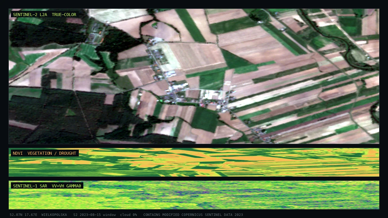
Temporal: refreshed on the satellite revisit cycle through the growing season — optical and thermal depend on clear sky, radar continues through cloud to keep the soil-moisture signal alive.
C · INTEGRATION
How does it reach my systems?
- API — per-parcel soil-moisture and ET values plus intervals, keyed by parcel ID.
- GeoTIFF — georeferenced rasters for GIS and farm-management systems.
- PDF report — portfolio or farm brief for underwriting and credit files.
- SaaS dashboard — hosted parcel monitoring.
Tabular feeds map onto actuarial pricing and loan-scoring pipelines; rasters import into farm-management and irrigation-planning platforms.
D · TECHNOLOGICAL LIMITATIONS — HANDLED HONESTLY
Cloud, small parcels, and the root zone below the surface
Three honest limits, three mitigations. (1) Cloud blocks optical and thermal sensing; we maintain continuity with radar, which retrieves a surface-soil-moisture signal through cloud, and we state any residual gap rather than interpolate over it silently. (2) Small and fragmented parcels fall near or below sensor resolution; those parcels are flagged and carry a wider interval, so the uncertainty is priced rather than ignored. (3) The root zone sits below what any sensor sees directly: satellites observe the surface and the canopy, so root-zone water is inferred from the surface signal plus the modelled water balance and crop water use, with the interval widening for the inferred depth.
In short: where the signal is thin, the band is wide and visible — never a confident number with a hidden caveat.
E · COMPLIANCE & STANDARDS
Where it fits
Outputs support parametric and indemnity agri-insurance design, CSRD-aligned water and climate disclosure for agribusiness, and an auditable basis for credit decisions. Processing runs under EU data residency.
We do not claim a regulatory product certification we do not hold, and we say so. The layer feeds the actuarial, credit and reporting processes you already run.
F · DELIVERY FORMATS
What you actually receive
- API with per-parcel soil-moisture + ET + interval
- GeoTIFF raster layers
- Vector parcel tables (CSV / GeoPackage)
- PDF portfolio and per-farm briefs
- Hosted dashboard access
G · HORIZON
What time frame it speaks to
The product delivers a near-real-time monitoring view of root-zone water and crop water use across the season, plus a short-range drought-stress outlook where soil moisture and weather inputs are well observed. Forward-looking values carry their own widening band, so a stress warning is always paired with a quantified confidence rather than presented as certainty.