A · ACCURACY & VALIDATION
How do I know the forecast holds?
Because it is shipped as a conformal scenario band with guaranteed coverage, not a single line, and because the band is verified out of sample. When we state a P10–P90 range, the realised flow falls inside it at the stated frequency — that is the property an operator schedules against and an underwriter prices against. Skill is benchmarked basin by basin against national hydrological gauge networks and reported per basin, release by release.
- Independent referee. National river-gauge networks are the reference; the comparison is re-run with each release.
- Honesty rule. Basins below the skill threshold ship with a "low confidence" label rather than being dropped or dressed up.
- Validation pack. Per-basin skill tables ship with the product and stay current for the contract.
B · RESOLUTION & UPDATE FREQUENCY
How fine, how often?
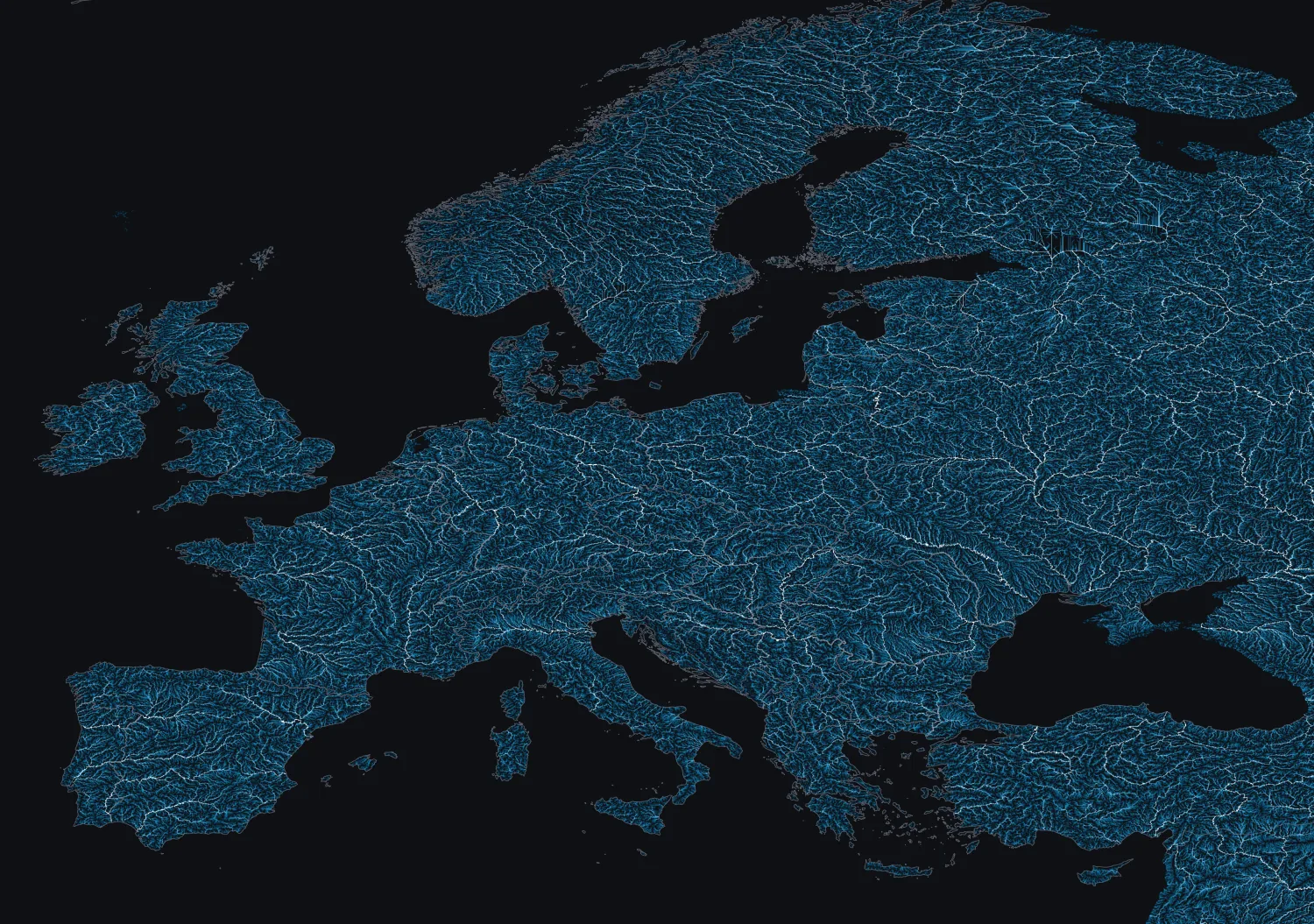
Spatial: resolved per basin / catchment and per gauge node, with the contributing area observed pixel by pixel rather than as a single point.
Temporal: refreshed as new satellite passes arrive — optical depends on clear sky, while radar continues through cloud to keep the catchment observed.
C · INTEGRATION
How does it reach my systems?
- API — per-node flow scenarios and flood-risk values.
- GeoTIFF — catchment and inundation-extent rasters.
- PDF report — basin outlook brief for operations and treaty files.
- SaaS dashboard — hosted basin monitoring.
The API delivers tag-style values and bands that a SCADA / dispatch or hydro-scheduling system can ingest as derived inflow inputs.
D · TECHNOLOGICAL LIMITATIONS — HANDLED HONESTLY
Where lead time shortens, and what we do about it
Lead time is honest, not uniform. It is strongest when inflow is snowmelt-driven and the catchment is densely observed, and it shortens for flashy, rain-driven flood events where the signal develops in hours, and where persistent cloud thins the optical record. We do not paper over this: the scenario band widens automatically as predictability falls, so a hard-to-forecast catchment shows a visibly wider range rather than a confident wrong number. Cloud gaps in optical sensing are bridged with radar, which keeps water extent and soil-moisture signals flowing through weather that blinds optical sensors.
Sparsely gauged mountain basins, which are hard to verify, are labelled low-confidence rather than presented at face value.
E · COMPLIANCE & STANDARDS
Where it fits
Outputs are designed to support flood-risk assessment, water-agency planning and dam operating-rule reviews, with an auditable basis that can be checked against national gauges. Processing runs under EU data residency.
We do not claim an official hydrological-forecasting designation we do not hold, and we say so. The product complements national services; it does not impersonate one.
F · DELIVERY FORMATS
What you actually receive
- API with per-node flow scenarios + flood-risk values
- GeoTIFF catchment / inundation rasters
- Vector tables (CSV / GeoPackage)
- PDF basin outlook reports
- Hosted dashboard; SCADA-ingestible feed
G · FORECAST HORIZON
How far ahead it speaks
Horizon runs from a short range for flash, rain-driven flood events up to a multi-week outlook where inflow is snowmelt-driven and the catchment is well observed. Every horizon carries its own band — the further out, the wider the spread — so turbine scheduling, flood-reserve drawdown and treaty exposure are each set against an honest, quantified range.